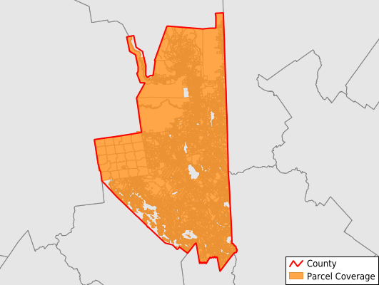
Carroll County
Parcel Data
Price: $200.00
Last Updated:
2025-Q3
Parcels in County:
52,814
Parcel data available to download as a GDB, GeoPackage, Shapefile, Excel, CSV, or Google Earth KML file.
All purchased data comes with six months of access, including any updates, at no additional cost.
Key attribute coverage for Carroll County
The percentage of Carroll County parcels containing the following key attributes:
Owner: 97.7%
Parcel Number: 100%
Acreage (Calculated): 100%
Site Address: 97.7%
Mailing Address: 97.4%
All available attributes in Carroll County
Parcel Number
Site Address
Owner
Building Size
Land Use Code
Land Use Class
Acreage (calculated)
Perimeter
Municipality
School District
Zip Code
Flood Zone
Flood Zone Subtype
Census Tract
Census Block Group
Census Block
Mail Address1
Mail Address2
Mail Address3
Year Built
Style
Total Rooms
Bedrooms
Fullbath
Halfbath
Total Bath
Gross Tax
Condition
Addr Sec Unit Num
Place Gnis Code
Land Cover
Elevation
Owner Occupied
Robust Id
Usps Residential
Alt Id 1
Alt Id 2
Crop Cover
Acreage Adjacent With Sameowner
Flood Zones
Nearest Transmission Line Dist Ft
Nearest Substation Dist Ft
Derived Geom Properties
Municipalities Respresented in Carroll County
Hale's location: 129
Hart'S Location Town: 137
Albany Town: 816
Bartlett Town: 4,210
Brookfield Town: 647
Chatham Town: 369
Conway Town: 6,559
Eaton Town: 660
Effingham Town: 1,555
Freedom Town: 2,732
Jackson Town: 1,599
Madison Town: 3,209
Moultonborough Town: 6,882
Ossipee Town: 4,708
Sandwich Town: 1,845
Tamworth Town: 2,689
Tuftonboro Town: 3,086
Wakefield Town: 5,856
Wolfeboro Town: 5,126
Save money when you buy data in bulk
We offer discounted pricing on county and state downloads.